Manila, Philippines –The National Mapping and Resource Information Authority (NAMRIA) has entered into a strategic partnership with iOne Resources, Inc., a leading provider of maritime and geospatial technology solutions in the Philippines. This collaboration will significantly strengthen the nation’s capabilities in hydrographic surveying, geospatial intelligence, and marine data services, contributing to safer seas, improved resource management, and sustainable national development.
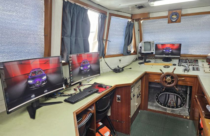
As the government’s central mapping agency, NAMRIA plays a vital role in producing accurate nautical charts, maps, and geospatial data that support navigation, disaster response, and environmental protection. Through iOne Resources’ exclusive partnership with Teledyne Marine, a global leader in marine technology, NAMRIA now gains access to cutting-edge hydrographic and geospatial instruments, including:
-
Hydro SVP500 – a reliable sound velocity profiler for precise water column measurements
-
SYS – an integrated system solution for hydrographic and geospatial applications
-
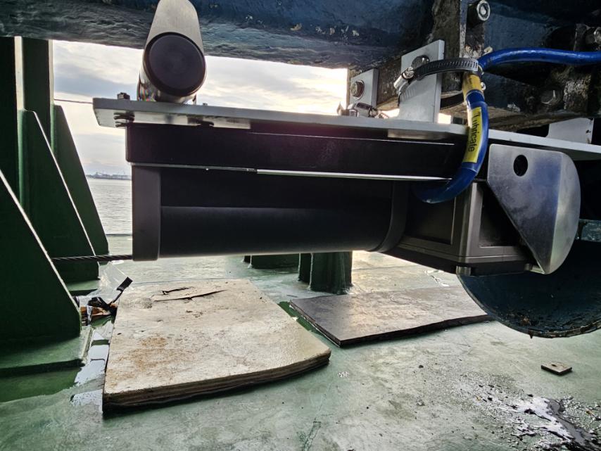
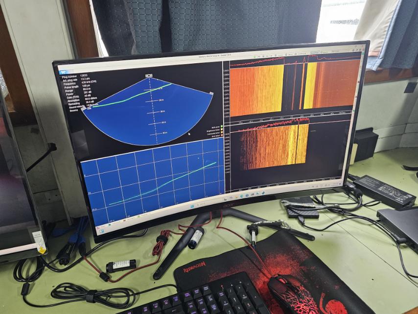
Echotrac E20-DC Dual Channel Hydrographic Singlebeam Echosounder – providing highly accurate depth and seabed profiling for coastal and offshore surveys
-
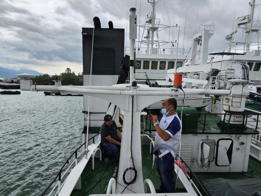
T_ASSY, IMU-20-1 for T-Series – an advanced inertial measurement unit ensuring high-accuracy positioning in challenging marine environments
-
CL-360 Marine Compact LiDAR Scanner – a powerful, compact sensor designed for rapid coastal, port, and nearshore mapping with high-resolution 3D data
“This partnership marks a new era in our mission to modernize the Philippines’ geospatial and hydrographic capabilities,” said Secretary Raphael P.M. Lotilla “ By working with iOne Resources and leveraging Teledyne Marine’s world-class solutions, we ensure that our marine and mapping initiatives remain globally competitive and responsive to national needs.”
With these advanced technologies, NAMRIA can accelerate its initiatives in:
-
Hydrographic and nautical charting to ensure safer navigation across Philippine waters
-
Seabed and coastal mapping to support environmental monitoring and blue economy development
-
3D LiDAR-based coastal mapping for ports, shorelines, and infrastructure planning
-
Climate resilience and disaster preparedness through precise marine and geospatial datasets
-
Digital transformation of mapping services to enhance accessibility for government, private sector, and the public
“We are honored to work hand-in-hand with NAMRIA in advancing the country’s geospatial and maritime future,” said Alberto Catangui, iOne President/CEO. “Our strong exclusive distribution partnership with Teledyne Marine allows us to equip NAMRIA with the most advanced hydrographic and LiDAR technologies available, enabling smarter decisions for maritime safety, environmental stewardship, and national development.”
This partnership underscores the importance of public–private collaboration in overcoming the challenges of the Philippines as an archipelagic nation. Together, NAMRIA and iOne Resources are committed to delivering accurate, reliable, and actionable marine and geospatial data for a more resilient and sustainable Philippines.
📍 About NAMRIA
The National Mapping and Resource Information Authority (NAMRIA) is the central mapping agency of the Philippine government. It is mandated to provide mapmaking services, conduct geospatial and hydrographic surveys, and manage resource information essential for national security, sustainable development, and disaster management.
📍 About iOne Resources, Inc.
iOne Resources, Inc. is a Philippine-based technology solutions provider specializing in maritime systems, geospatial services, cybersecurity, cloud, and ICT integration. As the exclusive distributor of Teledyne Marine solutions in the Philippines, iOne delivers world-class marine and geospatial technologies that support sustainable development, maritime safety, and digital transformation across government and private sectors.




Is there a demo available online for this solution?
Sana meron din nyan sa amin. Mindoro pls.
Congrats mga pre. Kampai na dyan.
This is great news for the country. Sana tuloy tuloy na.